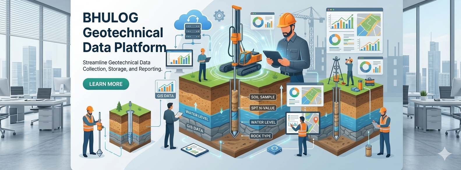
Create detailed borelogs with automatic calculations for soil classification, water levels and stratum boundaries.
Secure cloud storage with unlimited projects and real-time collaboration across your entire team.
Field data entry from any device. Sync borehole data instantly from site to office.
Generate professional reports, cross-sections and 3D subsurface models automatically.
Enterprise-grade security with GDPR compliance and audit trails for all data modifications.
Lightning-fast borelog rendering and data processing, even with thousands of boreholes.